


|
|
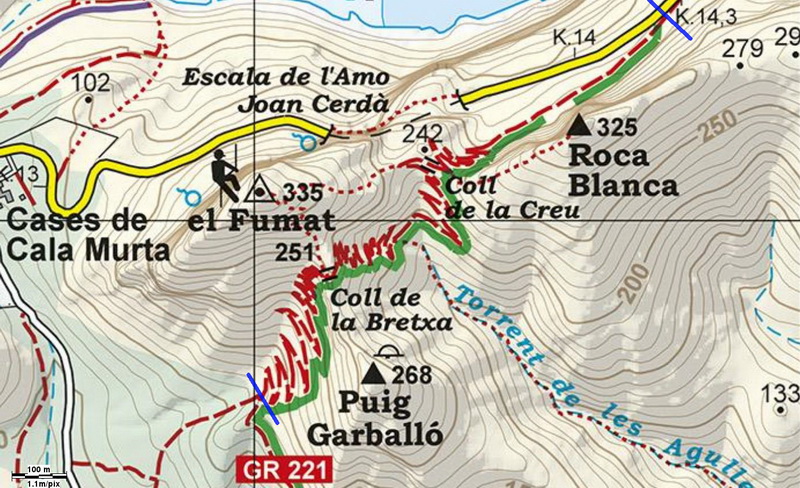
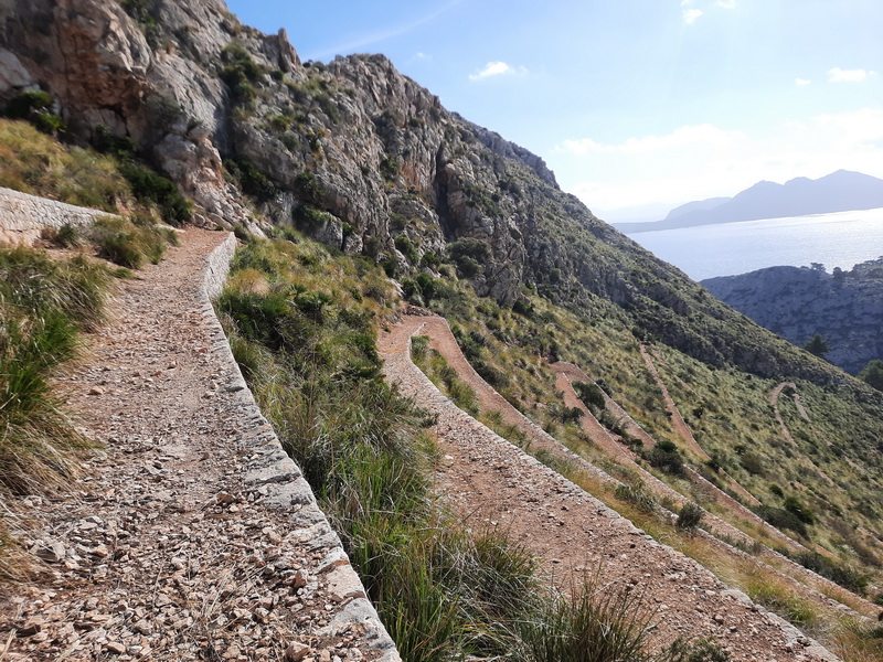
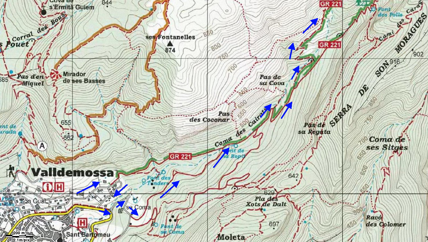
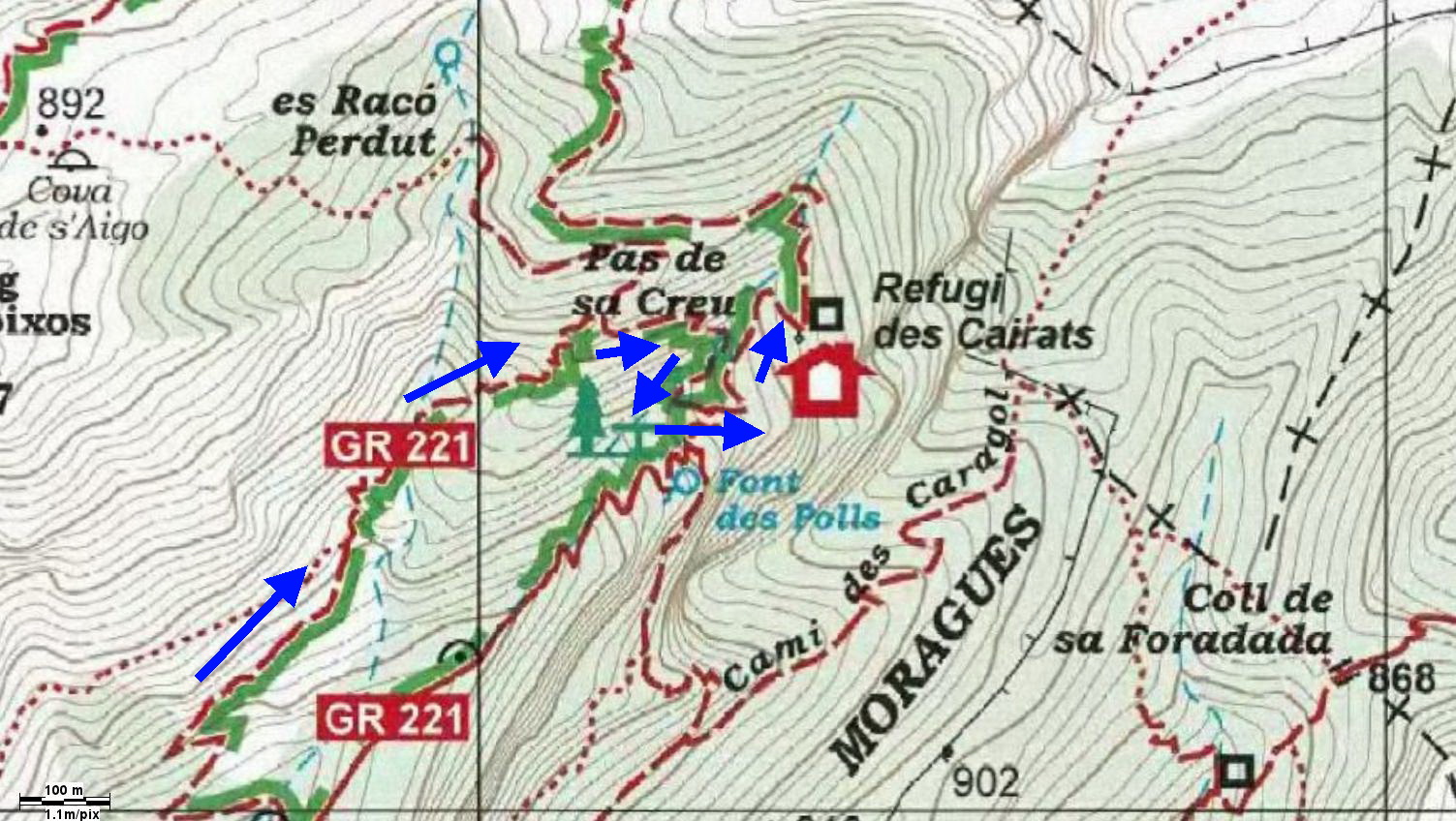
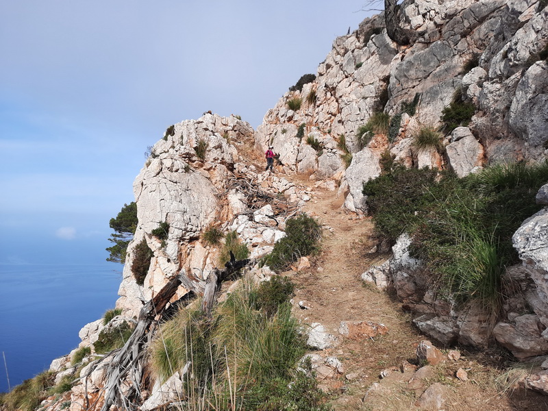
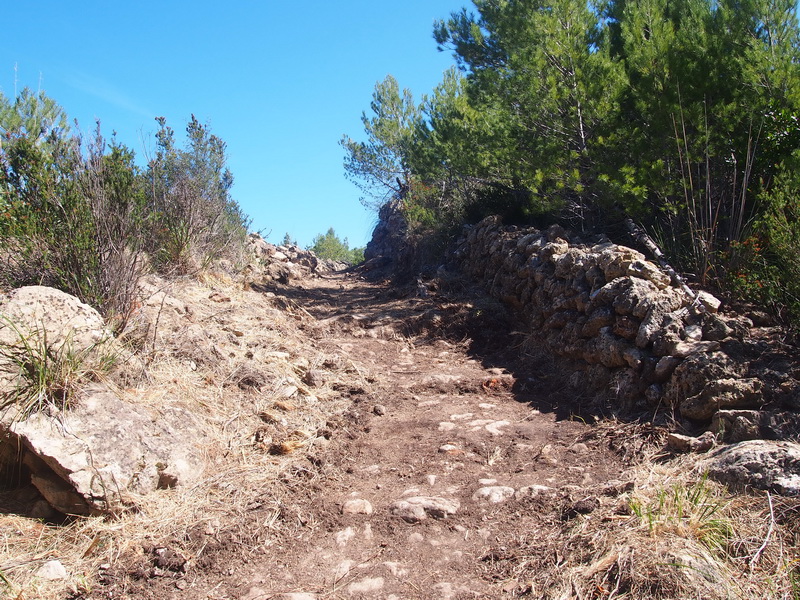
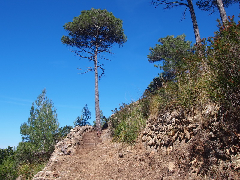
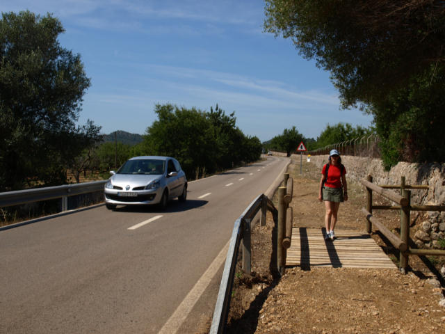
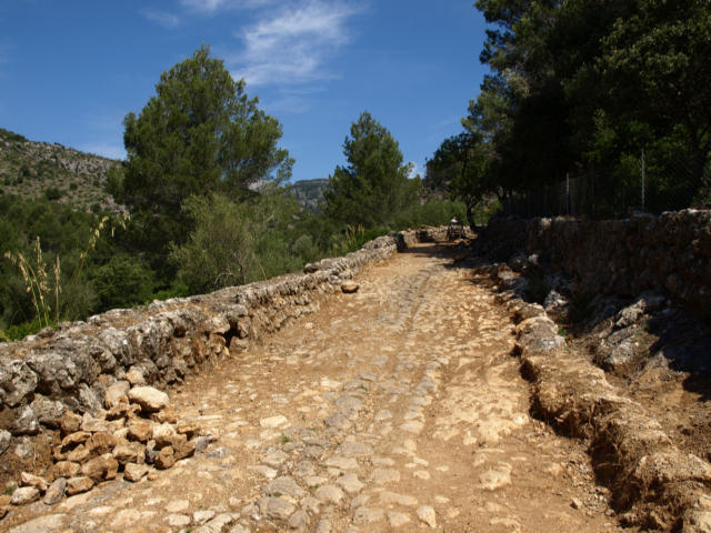
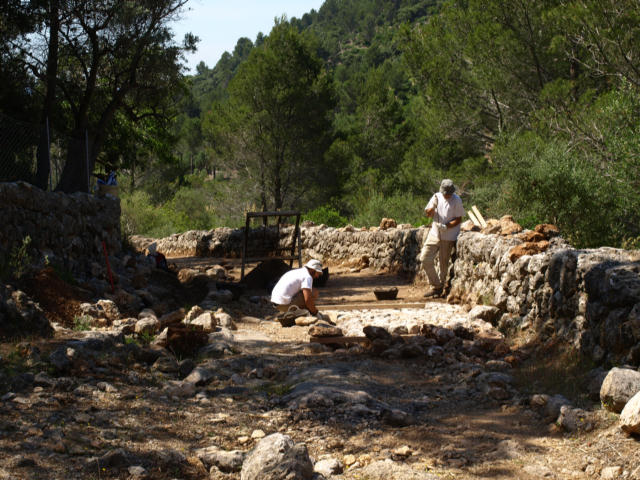
►February 2024: Work in progress along the future GR 221 to Cap de Formentor. - The drystone walls are being restored and the path has been cleared (section between the blue lines)
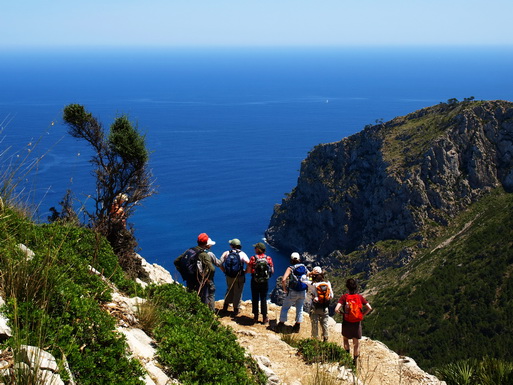
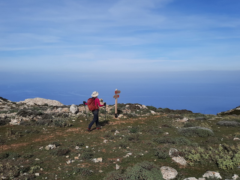
►Summer 2023: THE GR 221 IS SIGNPOSTED BETWEEN LA TRAPA AND PORT DE POLLENÇA - We were waiting for this new a long time ago!. With the "express" signposting of the sections Coll de sa Gremola- Coma d'en Vidal and Esporles- Valldemossa- Deià, only the section Port d'Andratx - Sant Elm and La Trapa isn't signposted yet, less than 10% of the planned long distance trail
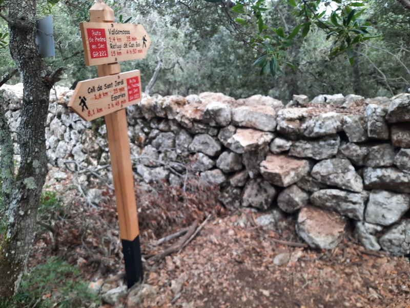
- Comuna de Valldemossa, between Esporles and Valldemossa-
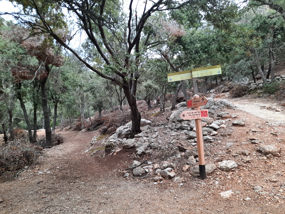
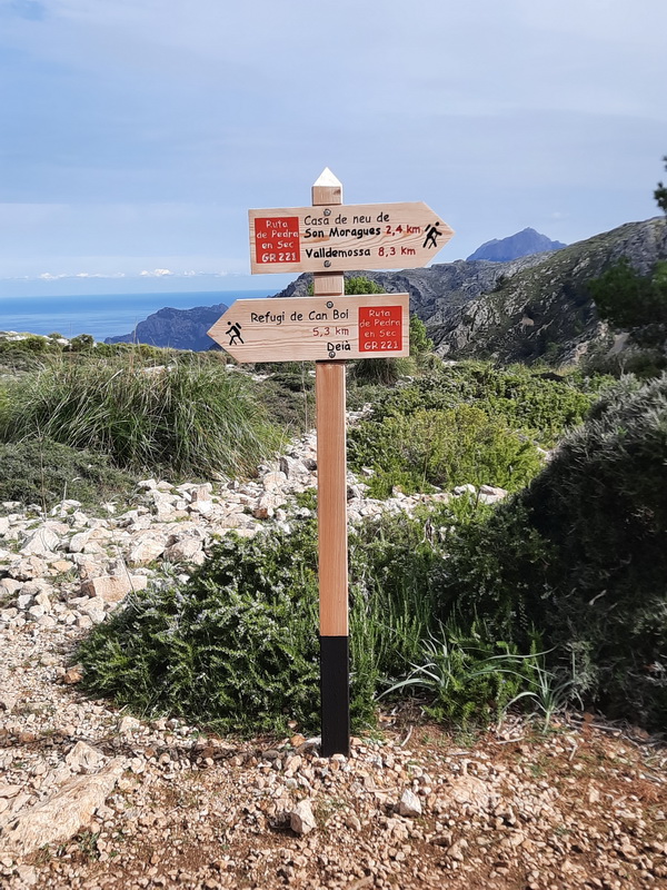
- Coma des Cairats, between Valldemossa and Deià-
- The GR avoids the wide track of Coma des Cairats-
- The GR avoids the wide track of Coma des Cairats-
- Pla des Aritges, on the Camí de s'Arxiduc, between Valldemossa and Deià-
- Near Son Borràs, not far from Deià. Work in progress in 2024-
- Stage La Trapa- Estellencs- below Mola de s'Esclop-
- Stage La Trapa- Estellencs- Pas d'en Ponsa- ►Januar 2023: The opening of the path between La Trapa and Ses Basses (GR 221) is possible due to the Public Paths Law
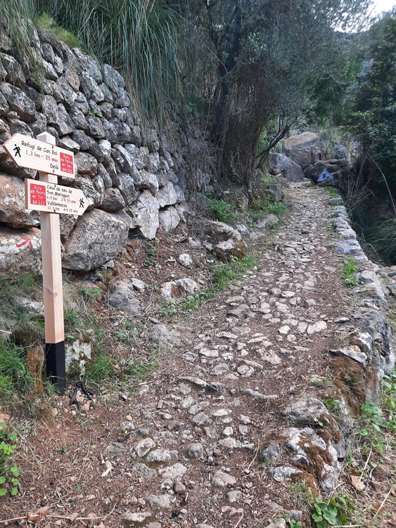
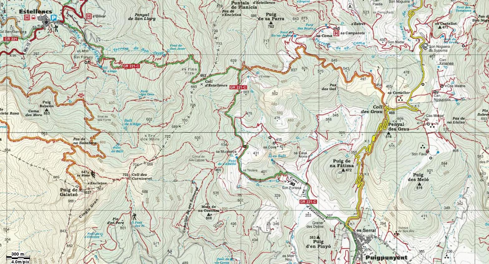
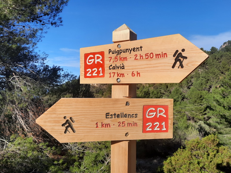
►December 2022: New signposted section of the GR221.2 between Puigpunyent and Estellencs
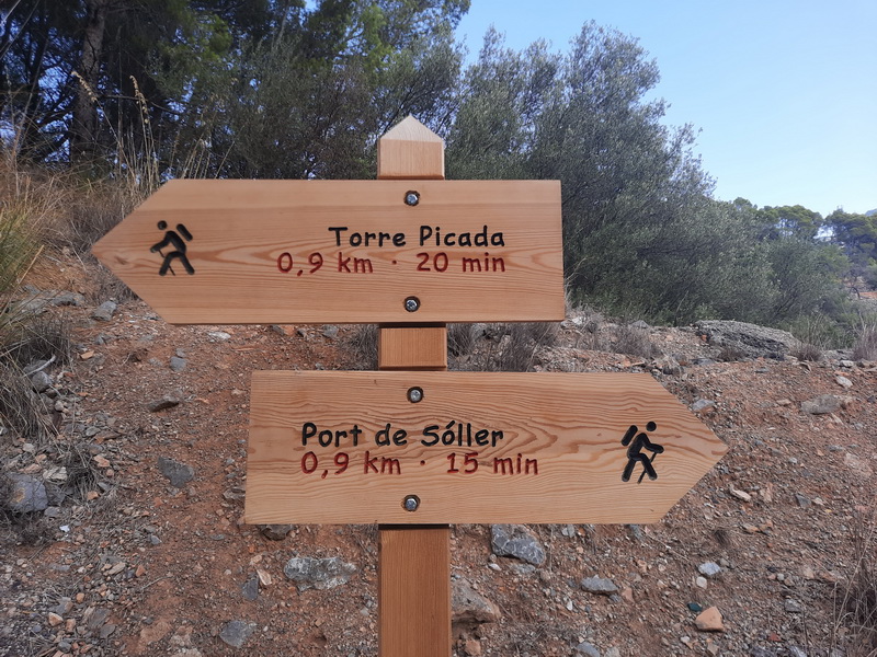
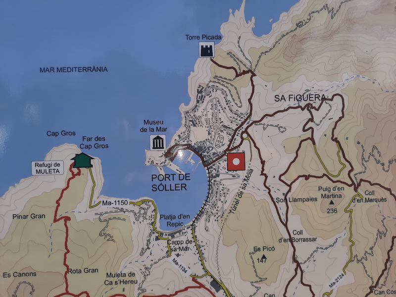
►December 2022: New signposted section of the GR221 between La Trapa and ses Basses ►November 2022: The mountain hut refugi de Galatzó is open ►September 2022: New singposted path between Port de Sóller and Torre Picada
►July 2022: The Ruta dels Fars (Lighthouse Route) between Cala Rajada- East Coast- Cap de ses Salines- Palma and Port d'Andratx is being planned
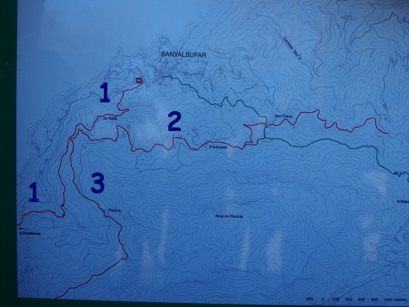
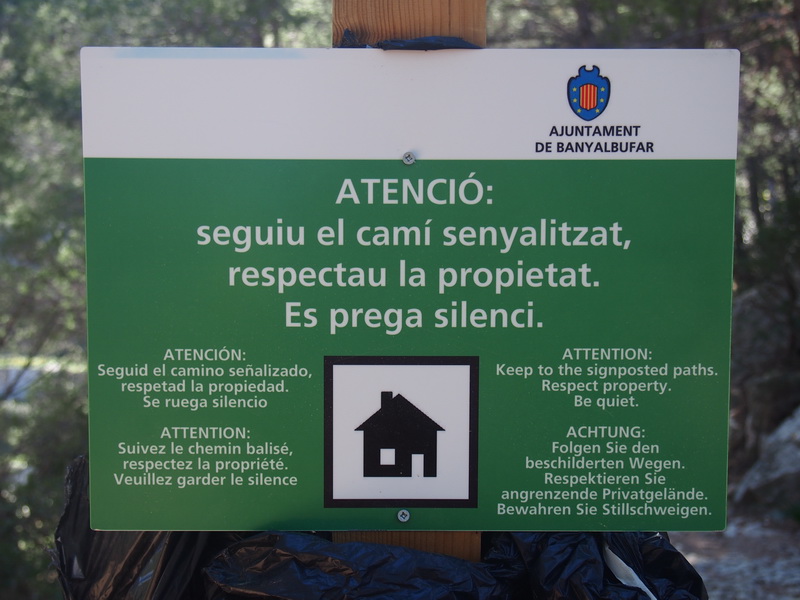
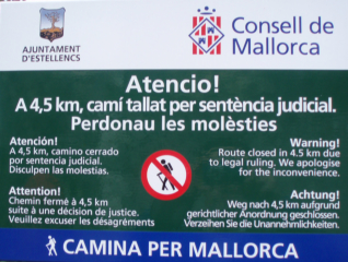
►The GR 221 between Banyalbufar and Estellencs has been reopened: After being closed for 15 years, a court ruling allows the opening of the GR and also of two other paths. A new path connecting Camí des Correu to S'Arbossar track has been also cleared and signposted. → 1- Path between Banyalbufar and Es Rafal (GR) and further to Estellencs → 2- Path to S'Arbossar in the direction of Camí des Correu → 3- The old path between Es Rafal and Planícia.
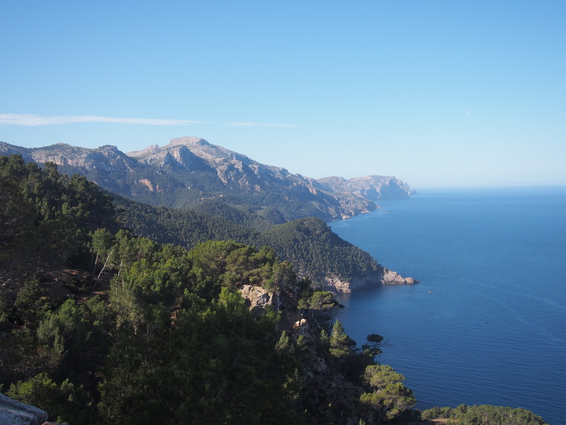
- - View from the GR 221 (Finca Es Rafal)-
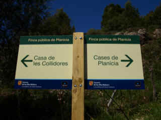
- Sign near Es Rafal-
- Direct path Es Rafal- Planícia-
- Path connecting Camí des Correu and S'Arbossar track-
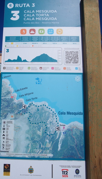
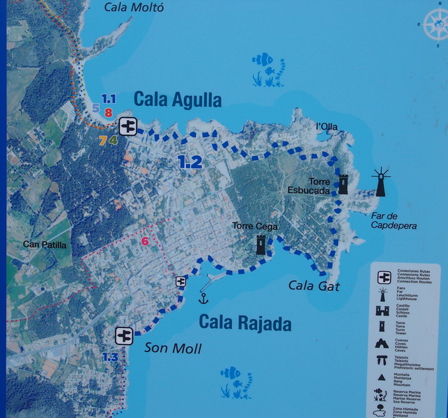
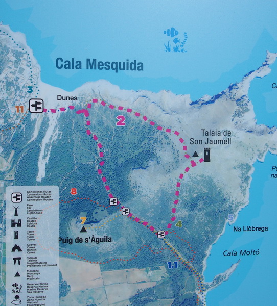
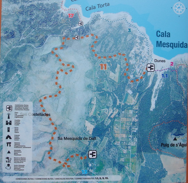
►Capdepera: Several routes have been signposted. They start at Platja de Son Moll, at Cala Agulla or at Cala Mesquida.
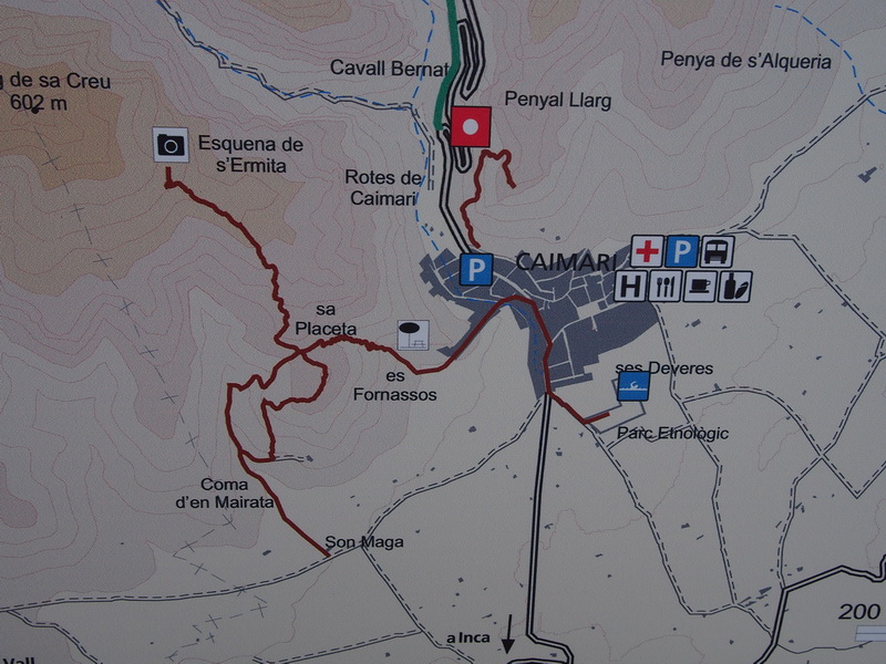
►Comuna de Caimari: Signposted paths on the map. The connection between Comellar de s'Homo and Comellar de sa Coveta Negra has been cleared but it hasn't been signposted yet.
- Conection Comellar de s'Homo- Comellar de sa Coveta Negra
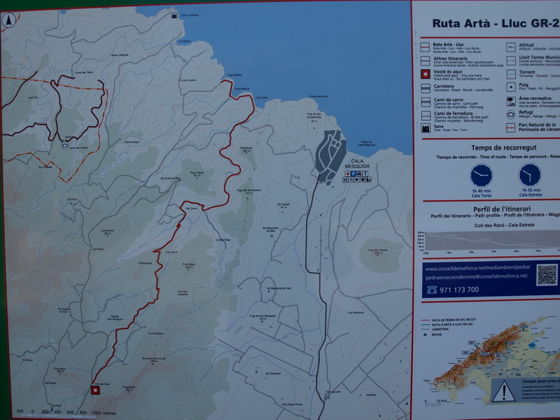
►2015- GR 222: Signposted section between Coll des Racó and Cala Torta
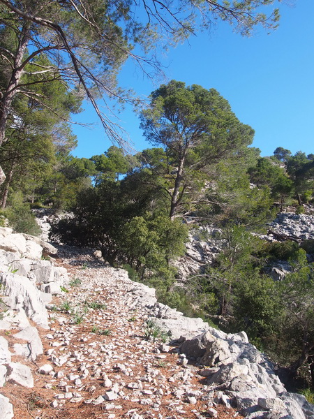
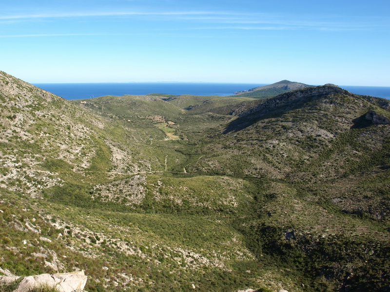
- The GR runs along the right side of the valley of Sa Duaia-
- Cala Torta-
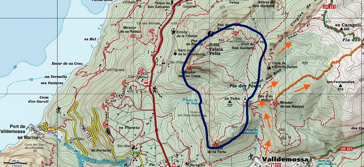
►Son Moragues- Teix- Valldemossa: Since October 2014, a permit is needed for access to the viewpoints and to the Caseta. NO permit is needed for access to the Camí de s'Arxiduc .Tel. +34 619 591 985 or: valldemossa@procustodia.org .
Area accessible by permit (blue)/ Routes without permit (orange)
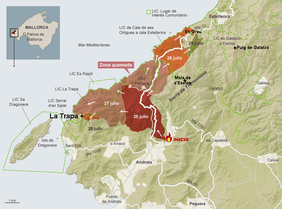
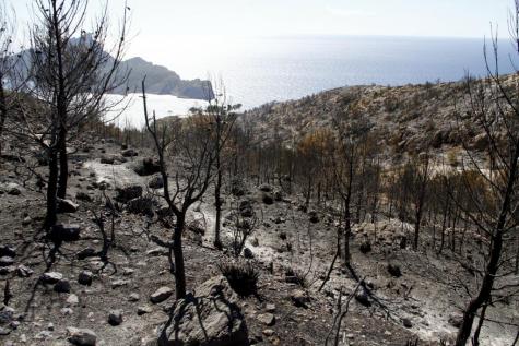
►The forest fire on july 2013 has destroyed 2300 Ha. between Andratx and Estellencs → And a good new: 15 days after the fire, 100 voluntary people started cutting trees and building barriers against the erosion. Look the video:
- Burnt area: The Puig de Galatzó wasn't affected and the Mola de s'Esclop only a little bit.
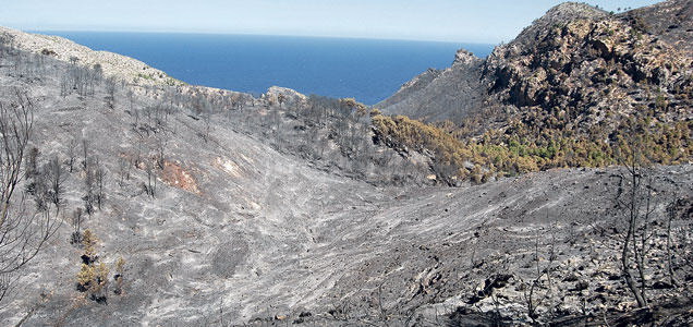
- From the Ma-10 road (Andratx- Estellencs)- Coll de sa Gramola
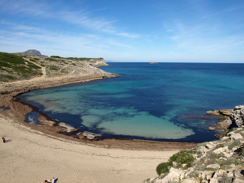
- La Trapa
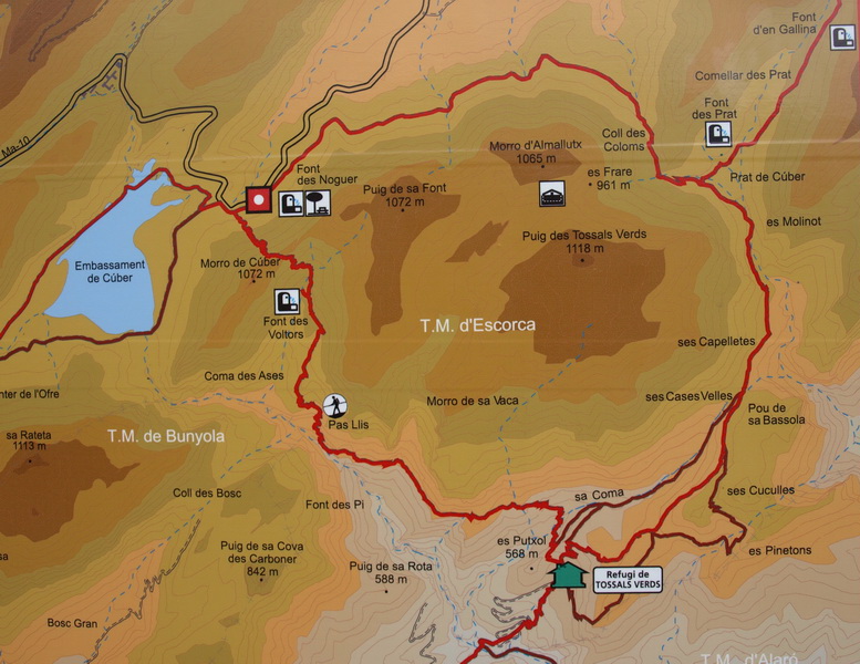
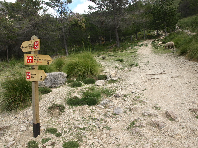
►February 2013: An alternative route along the GR 221 from Cúber Stausee to the mountain hut Tossals Verds (pas Llis) has been signposted
- Start of the path between Font des Noguer and Cúber reservoir
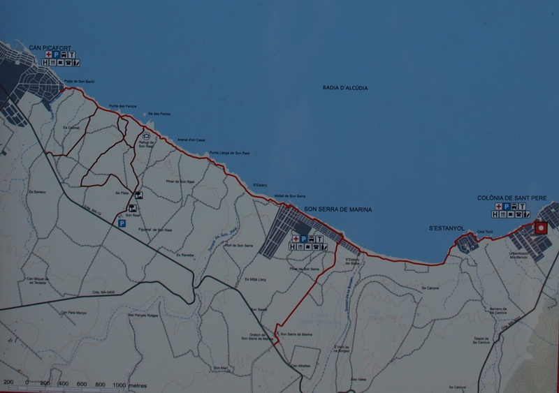
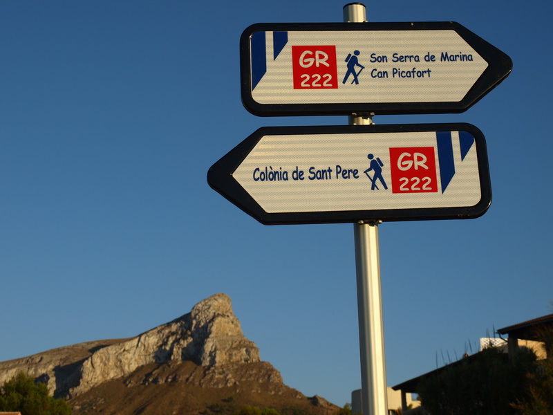
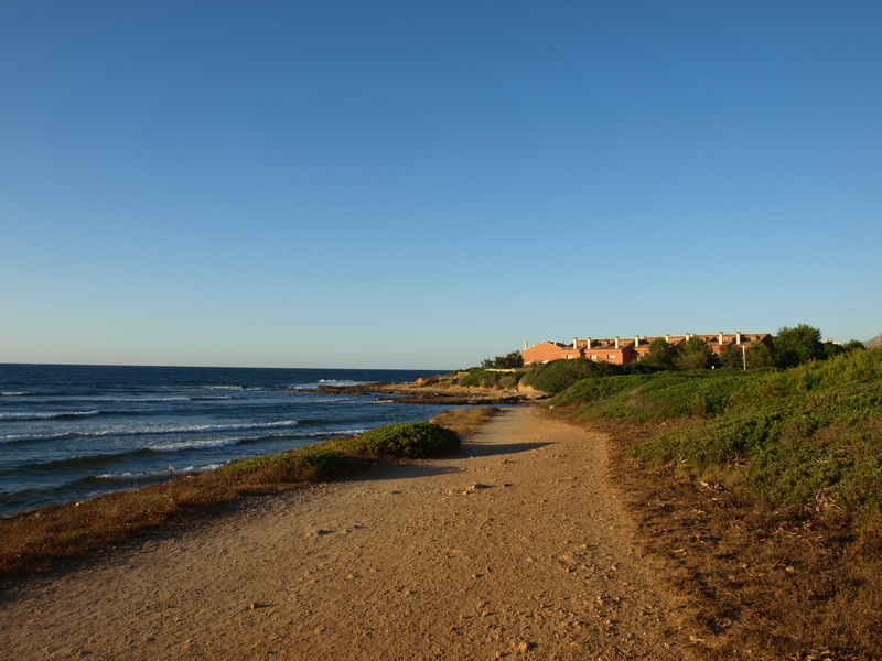
►Summer 2013: Some stages along the GR 222 between Colònia de Sant Pere, Can Picafort and Son Serra has been signposted
- Sign between Club Naútic de la Colònia de Sant Pere and S'Estanyol with the beautiful Bec de Ferrutx
- The GR near S'Estanyol
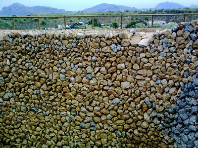
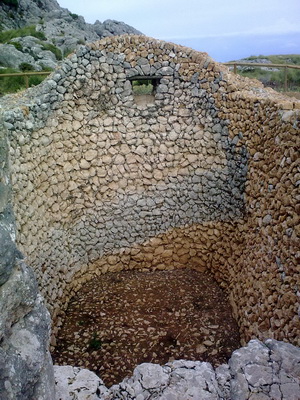
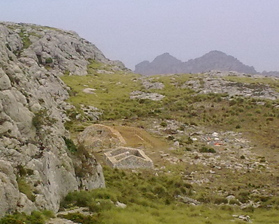
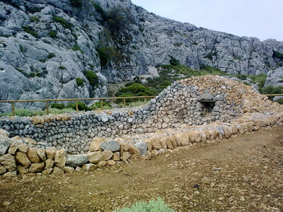
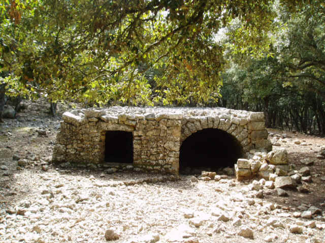
► The snowpit of Puig d'en Galileu (near the GR 221) has been restored- → The Environment Department has restored the old snowpit which was used between the XVII century and 1928. Half of the drystone walls falled down since then. It is located 5 minutes away from the GR 221 between Tossals Verds and Lluc.
-Restored drystone walls-
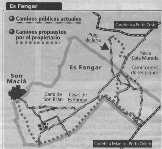
► October 2010: Es Fangar is open! - → The organisation "Plataforma Pro Camins Públics de Manacor" has worked a lot in order to compel the municipality of Manacor to open the public trails across Es Fangar. Only two footpaths will be diverted. The agreement with the owners was reached after a long process:
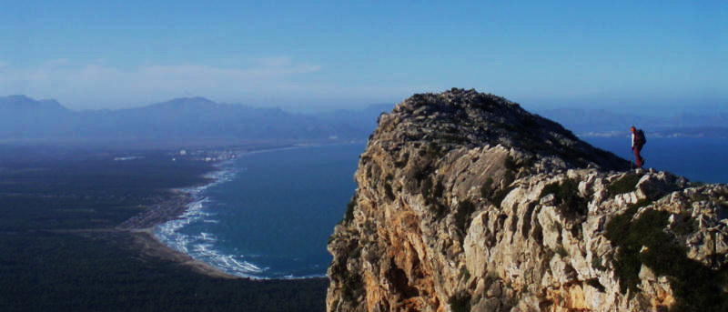
►June 2010: The footpath through the Ternelles valley (Pollença) is open → The estate was closed for hikers since 1995. The municipality of Pollença has been fighting for the right of access. They are some limits: 20 persons a day and they need a permit. The Castell del Rei is closed but you can reach the cove of Cala Castell. - For more information: www.ajpollenca.net - The following new has to do with the long way to open the footpath:
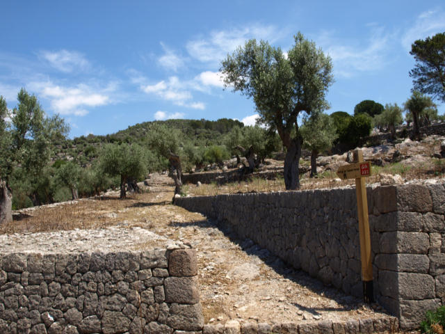
►June 2010: New alternative section of the GR 221.5, between Castell d'Alaró and the mountain hut Tossals Verds → In 2010, the restoration of the mountain hut of Castell d'Alaró has been completed. It needed a connection with the GR 221. The owner of one of the most important manor houses of Mallorca: Solleric, didn't allow the right of access. The municipality of Alaró brought the case to the justice and, after 3 years, the footpath was opened. It has been cleared and signposted. The stone pavement is still being restored.
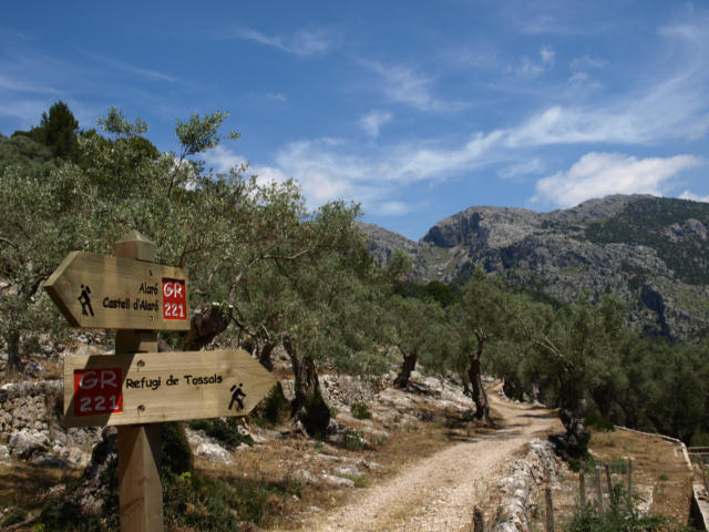
- Signpost on the road Alaró- Orient with the Castell d'Alaró behind-
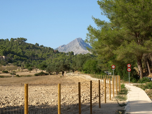
- For safety, a footpath has been built near the road-
- New restored cobblestoned footpath-
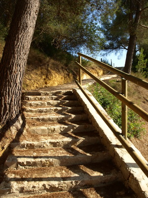
- Work on progress-
- Manor house Solleric-
- Olive groves in Solleric-
- Signpost in the pass Coll de sa Corona with the Puig des Tossals Verds behind-
►June 2010: the new footpath between Peguera and Es Capdellà is ready
→ At the moment, the best place to start the GR 221 is in Peguera. The new trail goes near the scenic road to Es Capdellà. It is well designed and allows a pleasant walk. It has been financed by the municipality of Calvià. From Es Capdellà, it's possible to hike to the finca pública de Galatzó and, from there, to Estellencs and the GR 221.
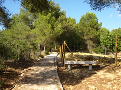
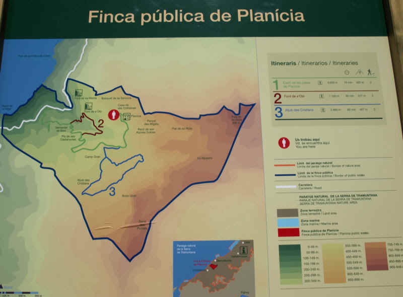
►New signposted footpaths in the public state Planícia
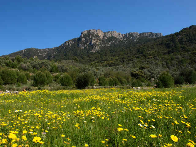
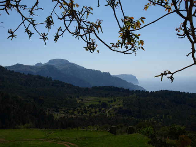
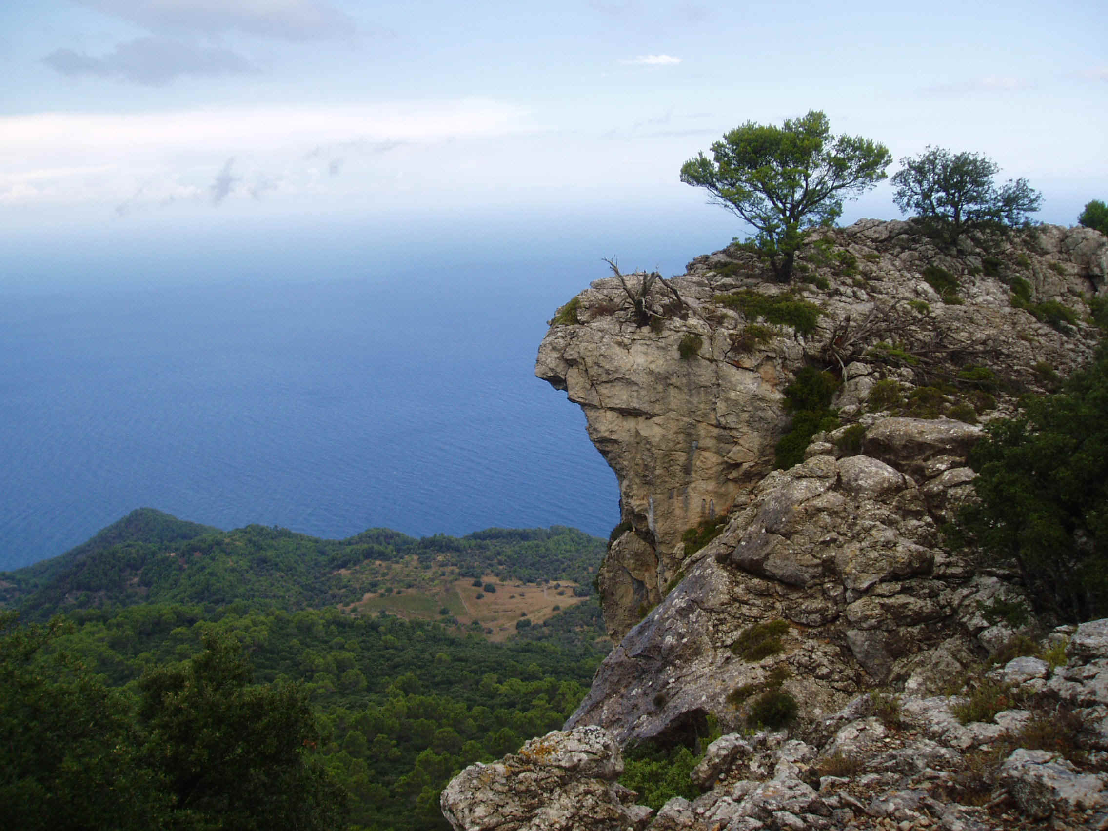
- Puntals de Planícia -
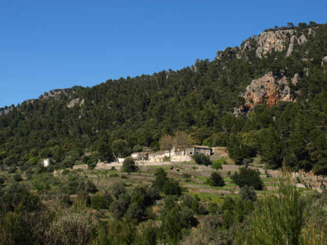
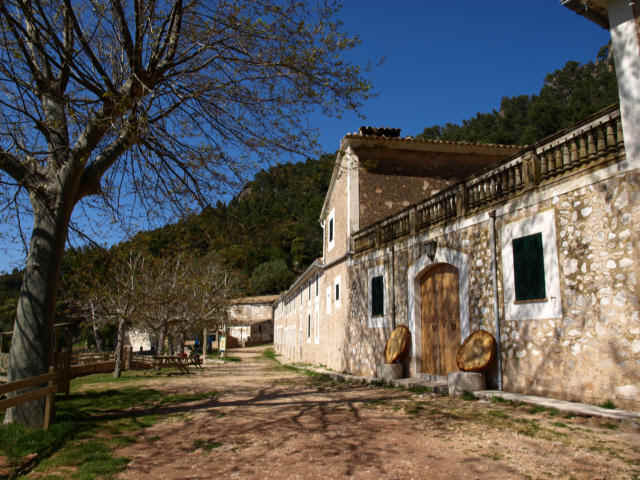
-Manor house Planícia-
- View from the manor house direction S'Esclop and Punta Fabioler-
- Since April the public estate is open and 3 footpaths have been signposted. Access is from the km. 90,250 of the road Ma-10 between Banyalbufar and Estellencs. Route 1- from the road Ma-10 to the manor house of Planícia (45min): It follows the asphalted track across beautiful olive terraces. Route 2- Font de S'Obi (45min): First across the forest to this dry source and then through the olive terraces Route 3- Circular hike across the forest to the water reservoir "Aljub des Cristians" (60min) In the near future the foothpaths to the Mola de Planícia will be signposted and restored..
- View from the Puntals de Planícia- - Es Aljubets , water reservoir in the forest of Planícia- - The government has bought on february 2009 the huge estate Planícia (Banyalbufar- 445 Ha.) for € 11,2 Mio. The manor house (1500 qm) will be restored as a mountain hostel of the long distance trail GR 221.
|